Rock County Bike Rides and Route Maps
Trail maps are available at area bike shops, visitor centers, parks departments, and libraries.
Beloit Area Bike Rides and Route Maps This link goes to the Stateline Spinners website. Rides are on trails, streets and roads. The Stateline Spinners site has both .gpx and .pdf files. The shortest ride is 2.8 miles. The longest ride is 103 miles.
Janesville Area Bike Rides and Route Maps This link goes to the Janesville Velo Club website. These are rides of 50 miles or less on trails, streets and roads. Most of these rides begin and end at Janesville’s Palmer Park. Each map shows various distance options.
Map My Ride provides searchable bike routes from many cities. These are crowdsourced routes and vary in length.
Rock County Plans and Maps this link provides information about individual Rock County Parks and trails.
City of Janesville Bike Maps this links to a .pdf of the entire Janesville Trail System.
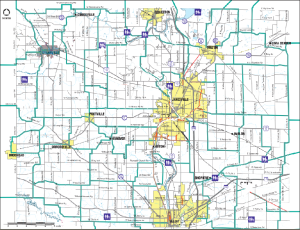
Rock County Trail Map (English)
Mapa de Senderos Naturales del Condado de Rock (Spanish)
Please report any broken links to info@rocktrailcoalition.org
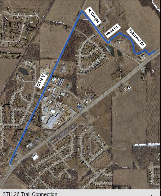
Hwy 26 Gap Connection from the bike/pedestrian bridge to the Glacial Trail. This connects the city bike trail to the Glacial Trail which runs parallel to Hwy 26. The Glacial Trail runs from Janesville to Fort Atkinson in Jefferson County. Eventually this trail will go all the way to Watertown, connecting with the Glacial Drumlin bike trail.
Disclaimer: Every effort has been made to provide accurate information in the cue sheets and maps. However, route conditions may change and data from the public domain may be incomplete. Users of the bike route have primary responsibility for their own safety and are encouraged to investigate route conditions while planning a trip. The agencies, organizations and individuals involved in development of the bike route provide the information in good faith and assume no liability for personal safety and property of route users.


